
Friday, 09/10/2026 11:35
(GMT+7)
Making effective use of the automated monitoring system for natural disaster warnings
HNN.VN - On the afternoon of October 8, the city’s Sub-department of Irrigation and Climate Change said that the automated monitoring network across the city is proving effective in supplying information for natural disaster warnings to relevant agencies, local authorities, and people.
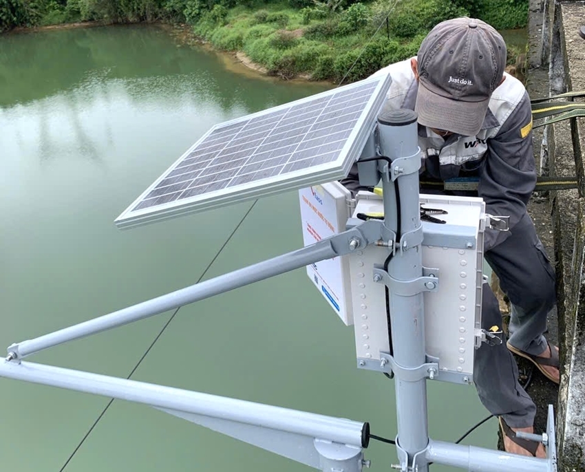 |
| Inspecting and maintaining a Vrain automatic rain gauge station |
The city’s automated monitoring network comprises 55 Vrain automatic rain gauge stations, 4 wind speed gauges, 10 flood monitoring stations, and 7 water-level monitoring stations on the Huong, Bo, O Lau, Truoi, and Bu Lu rivers.
Data from the stations are connected, integrated, and made available on the website and the smartphone app of Vrain, as well as the Hue-S platform. As a result, information on rainfall, water levels, and flooding is updated in real time, enabling relevant agencies and local authorities to closely monitor developments in natural disasters and promptly implement response measures.
Connecting monitoring data with digital platforms is considered to help broader community access to natural disaster warning information. It is an important source of information, particularly during heavy rain, flooding, and inundation across the city, helping people proactively monitor the situation and take appropriate response measures.
By TAM ANH